Location
The North Altai Argali corresponds to the eastern (Uvs) population identified in the 2019 Vargas, Erwin, and Culverstudy and occupies the north-facing slopes, upland steppes, and alpine ridges east of the Tsengel Khairkhan–Khoton/Khurgan watershed divide. This population is confined entirely within northern Bayan-Ölgii and northwestern Uvs Provinces, including the mountain systems surrounding Lake Uureg Nuur, and extends northward into Russia.
The western boundary follows the crest of the Tsengel Khairkhan massif and the high ridge east of Khoton and Khurgan Lakes, continuing north where it meets the Mongolia–Russia border.
The eastern extent includes the upland ridges and escarpments west, north, and southeast of Lake Uureg Nuur. The southern limit lies near 48.6° N, ensuring that the population does not extend into the Tolbo or Khovd drainage basins.
This terrain-based divide cleanly separates the two populations:
• High Altai Argali: Found west and southwest of the Tsengel Khairkhan–Khoton/Khurgan ridge, inhabiting rugged alpine basins and glaciated valleys.
• North Altai Argali: Found east of that ridge, occupying high plateaus, tundra steppe, and the mountain systems surrounding Lake Uureg Nuur, extending north toward Russia and southeast into the uplands of western Uvs.
Description
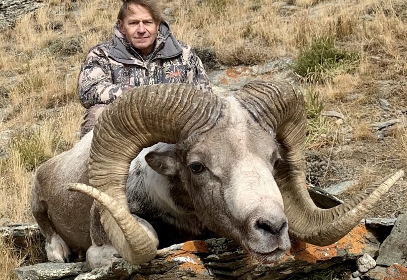
The North Altai Argali (eastern population of northwest Mongolia) is a smaller-bodied, lighter-horned, and more refined mountain sheep compared to the heavier, thick-based High Altai Argali found to the southwest. Field observations and comparative photographs from both regions demonstrate consistent phenotypic distinctions, confirmed across multiple hunts and directly supported by the East–West Argali Evaluation submitted to GSCO. These conclusions are further supported by the findings of Vargas, Erwin & Culver (2019), along with extensive field observations by GSCO members, multiple hunt reports, and an independent expert review.
In recognition of the clearly defined genetic, phenotypic, and geographic distinctions between the two populations, the GSCO Trophy Committee formally recognized the North Altai Argali as a separate record-keeping designation in 2024, with its first publication appearing in Slam Quest Magazine, Winter 2024, page 137.
Habitat
The North Altai Argali occupies high-elevation steppe–tundra terrain, broken ridgelines, and alpine plateaus east of the Tsengel Khairkhan–Khoton/Khurgan watershed divide. Its habitat is centered in the upland mountain systems of northern Bayan-Ölgii and northwestern Uvs Provinces, including the ranges surrounding Lake Uureg Nuur and extending north to the Russian frontier.
Remarks
This revision incorporates both genetic and topographic evidence to define a scientifically precise, biologically defensible, and easily mappable boundary between the High Altai and North Altai argali populations.
It maintains consistency with recognized argali habitat zones, reflects the true ecological separation between the western and eastern populations identified by Vargas et al. (2019), and eliminates confusion for hunters, outfitters, and record administrators.
Research Note: A small group of academic researchers, geographic specialists, and wildlife rangers (Western Altai region) gathered for over three hours to meet on the proposed description for the GSCO Website (Refined Definition) and the map.
This group included Batsukh Galsan, S. Amgalanbaatar, PhD, retired researcher at the Biological Institute of the Academy of Sciences of Mongolia/Director at Argali Research Center, and D. Tseveenravdan, the former project manager of WCS Mongolia in Khovd province, Western Altai. All have agreed that this proposed description, based on the outlined geographic boundaries, looks accurate.